Real-time panorama maps
Abstract
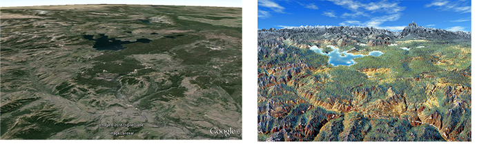
Panorama maps are stylized paintings of terrain often seen at tourist destinations. They are difficult to create since they are both artistic and grounded in real geographic data. In this paper we present techniques for rendering real-world data in the style of Heinrich Berann's panorama maps in a real-time application. We analyse several of Berann's paintings to identify the artistic elements used. We use this analysis to form algorithms that mimic the panorama map style, focusing on replicating the terrain deformation, distorted projection, terrain colouring, tree brush strokes, water rendering, and atmospheric scattering. In our approach we use freely available digital earth data to render interactive panorama maps without needing further design work.