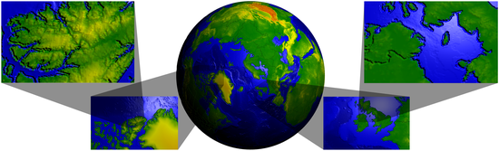
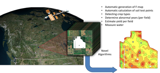
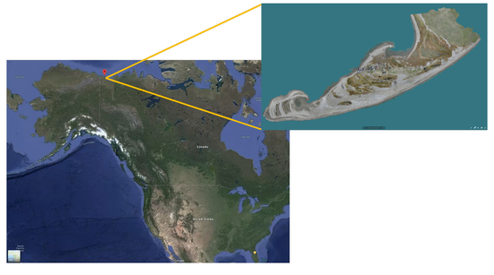
A 3D model used to visualize Corona virus spread.
A multiresolution 3D model used to visualize location-based data.
Visualization tool for exploring time-varying, multi-attribute and spatial properties of an energy system.
A study of the geometry and structure of muqarnas.
Interactive tools for realtime 3D volume manipulation and segmentation.
An image assisted sketch-based modeling system.
A wider variety of projection within computer graphics environments.
Creating free-form parametric surfaces using just a few strokes.
The project digitally preserves former Indian residential schools in Alberta.
https://news.ucalgary.ca/news/project-digitally-preserves-former-indian-residential-schools-alberta
From a special tree to a residential school, our fleeting natural and built environments are rich with secrets, stories and knowledge that 3D technology can preserve and protect.
https://archmagazine.ucalgary.ca/touching-history-3d-printing/