A survey of digital earth
Abstract
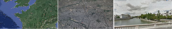
The creation of a digital representation of the Earth and its associated data is a complex and difficult task. The incredible size of geospatial data and differences between data sets pose challenges related to big data, data creation, and data integration. Advances in globe representation and visualization have made use of Discrete Global Grid Systems (DGGSs) that discretize the globe into a set of cells to which data are assigned. DGGSs are well studied and important in the GIS, OGC, and Digital Earth communities but have not been well-introduced to the computer graphics community. In this paper, we provide an overview of DGGSs and their use in digitally representing the Earth, describe several current Digital Earth systems and their methods of Earth representation, and list a number of applications of Digital Earths with related works. Moreover, we discuss the key research areas and related papers from …
Ali Mahdavi-Amiri
Alumni Postdoc and Research Associate
April 2015 - December 2016
Ali is a former Postdoctoral Scholar interested in geometric modelling, geospatial visualization, Digital Earth representations, and spatial data structures.