Interactive data styling and multifocal visualization for a multigrid web-based Digital Earth
Abstract
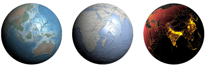
Globe-based Digital Earth (DE) is a promising system that uses 3D models of the Earth for integration, organization, processing, and visualization of vast multiscale geospatial datasets. The growing size and scale of geospatial datasets present significant obstacles to interactive viewing and meaningful visualizations of these DE systems. To address these challenges, we present a novel web-based multiresolution DE system using a hierarchical discretization of the globe on both server and client sides. The presented web-based system makes use of a novel data encoding technique for rendering large multiscale geospatial datasets, with the additional capability of displaying multiple simultaneous viewpoints. Only the data needed for the current views and scales are encoded and processed. We leverage the power of GPU acceleration on the client-side to perform real-time data rendering and dynamic styling. Efficient rendering of multiple views allows us to support multilevel focus+context visualization, an effective approach to navigate through large multiscale global datasets. The client–server interaction as well as the data encoding, rendering, styling, and visualization techniques utilized by our presented system contribute toward making DE more accessible and informative.